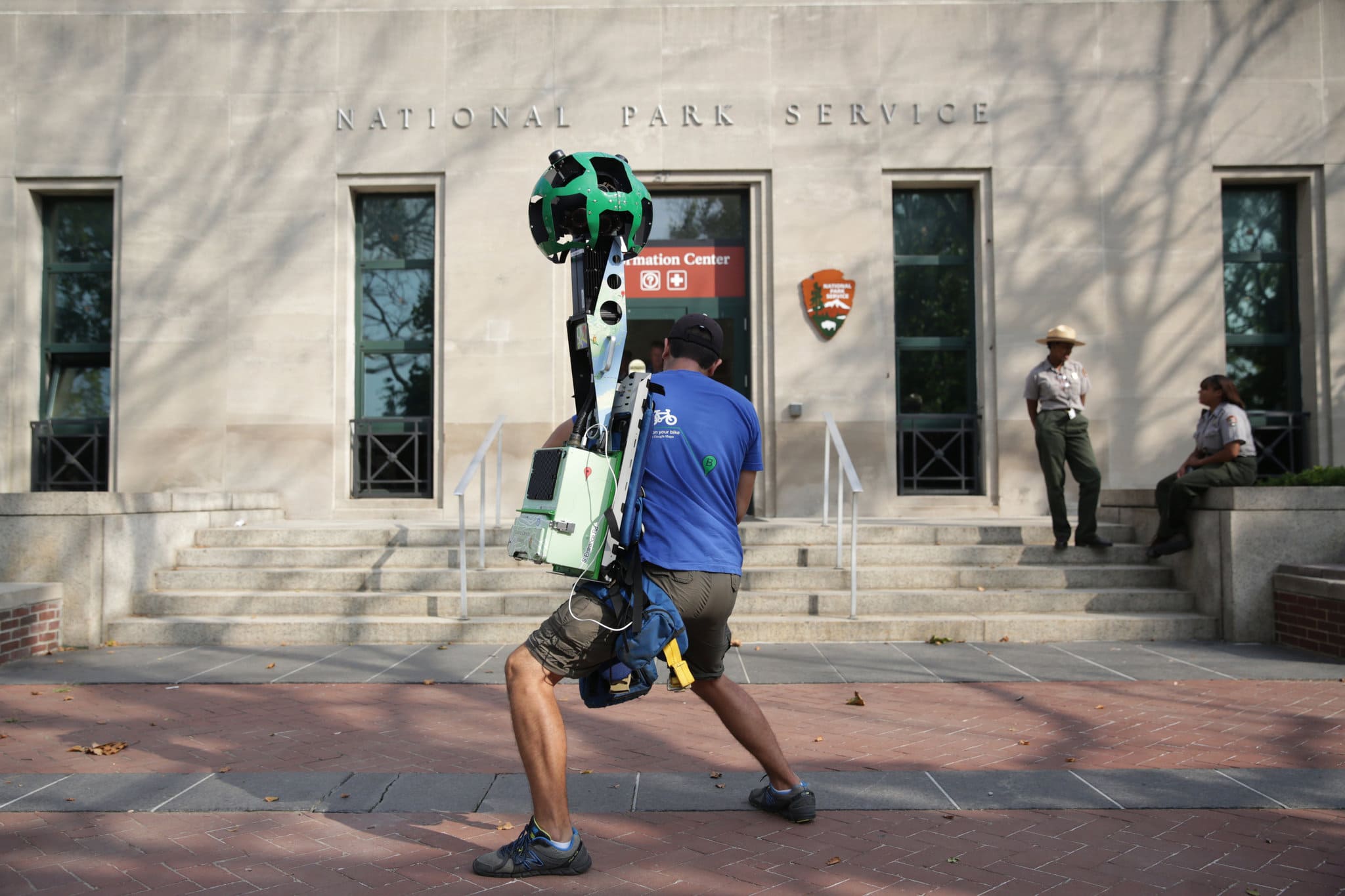
So this isn’t exactly webmaster news – however since Rapid Purple is based out of New York City it’s pretty exciting news for us that Google Maps has been given permission to map Ellis and Liberty Islands. With the permission finally granted Googler Alberto Elias strapped the 40lb Google Trekker to his back and proceeded to record 360-degree views of Liberty Island.
“For the first time, Liberty Island will be available for people to explore through Street View in Google Maps. So whether you’re a tourist or a New Yorker or someone who just wants to see it up close, in the coming months everyone will be able to take a tour of the island and appreciate the statue’s history and beauty in 360-degree imagery.”
Before any of the images will be accessible for us online they will have to be filed, processed, and any faces and private information blurred. Google estimates this process to take a few months – and once the images are finally live I’ll be sure to make a mention of it here in the blog.


Those are gonna be some awesome views.
And holy …. that camera.
For those who haven’t Google’d for the view yourself, check it out here: https://www.google.com/mymaps/viewer?mid=1cRJr1B5wx8cpBgSYA-sIAfY_odc&hl=en – and a screenshot from mobile: https://uploads.disquscdn.com/images/932c6ec6c796345475c55211118580960b0fc0b00707357f5ffe6b9bcc382bc3.png